Major Benthic Habitat Project Completed using Autonomous Underwater Vehicles (AUV)

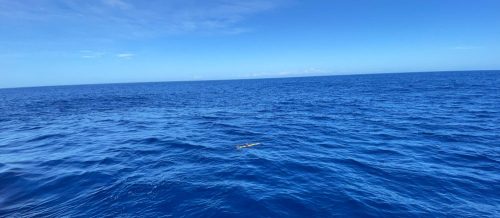
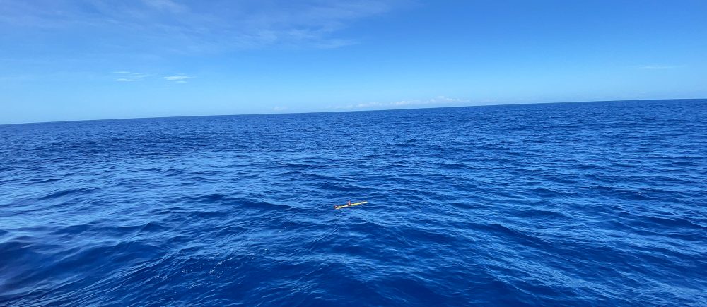
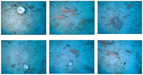
Inshore benthic habitats are relatively easy to access and describe using methods such as dive surveys, installed in-situ instrumentation (e.g. Baited Remote Underwater Video Systems – BRUVS), or vessel-based systems (e.g. drop cameras, towed video or Remotely Operated Vehicles – ROV).  Capturing such data in offshore and deeper environments however is vastly more complex in its nature and significantly more expensive.

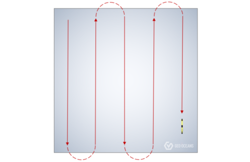
Geo Oceans have solved this problem recently for a major energy client with the deployment of low-cost and low-logistic Autonomous Underwater Vehicles (AUV) for the near-bed capture of benthic habitats to satisfy a regulatory requirement across 50 sites in Western Australia.

Project Summary

After each mission the images were screened for suitability, being assessed for appropriate light and image sharpness, in addition to ensuring a minimum deliverable of 60 images per transect was met. Post-fieldwork image interpretation was conducted by the Geo Oceans team, using point overlay analysis utilising Coral Point

Count with Excel extensions (CPCe) software. CPCe is a windows-based software that provides a tool for the determination of coral cover using transect photographs. A specified number of spatially random points are distributed on an image and species lying under these points are identified.

The project was deemed a success in satisfying all project deliverables, collecting comprehensive and high-resolution datasets at a price significantly less than traditional approaches.  This again demonstrates that autonomous technology can be of significant value to offshore operators not only in practicality and cost, but also in repeatability where projects require a temporal impact or change assessment over progressive datasets.

Want to know more? Contact us below: