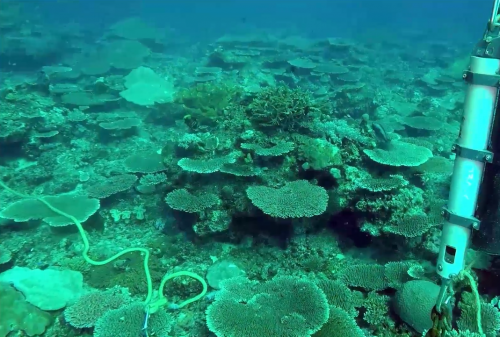
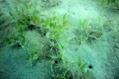
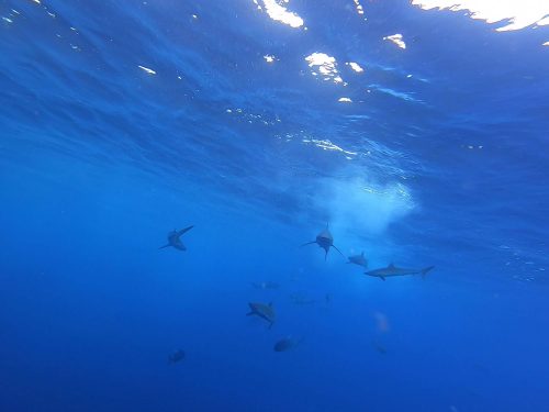
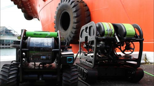


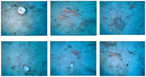

Geo Oceans has set a new standard in survey efficiency and data quality by performing a range of real-time data analysis and processing tasks in the field. Our Mini-ROV systems and towed cameras (drop camera) combine with our GO Visions™ software, allowing for the collection of larger quantities of higher quality processed data. This allows us to create fine-scale habitat maps across large spatial areas, far more accurately and efficiently than previously possible.


